Hiking the Best Trails in Colorado: Three Day Roadtrip Down HWY 70
I never tire of visiting Colorado. It attracts me in a way that no other state can or has so far, (except maybe northern California). My first time driving through the western side of the state was back in 2015, which I covered in this article. Since then Tiff and I have been back twice. The first time we visited Denver and Evergreen Colorado, which I wrote about here. Our second time there together, we drove further and down highway 70 going west. Today’s article is about that journey back in June of 2019.
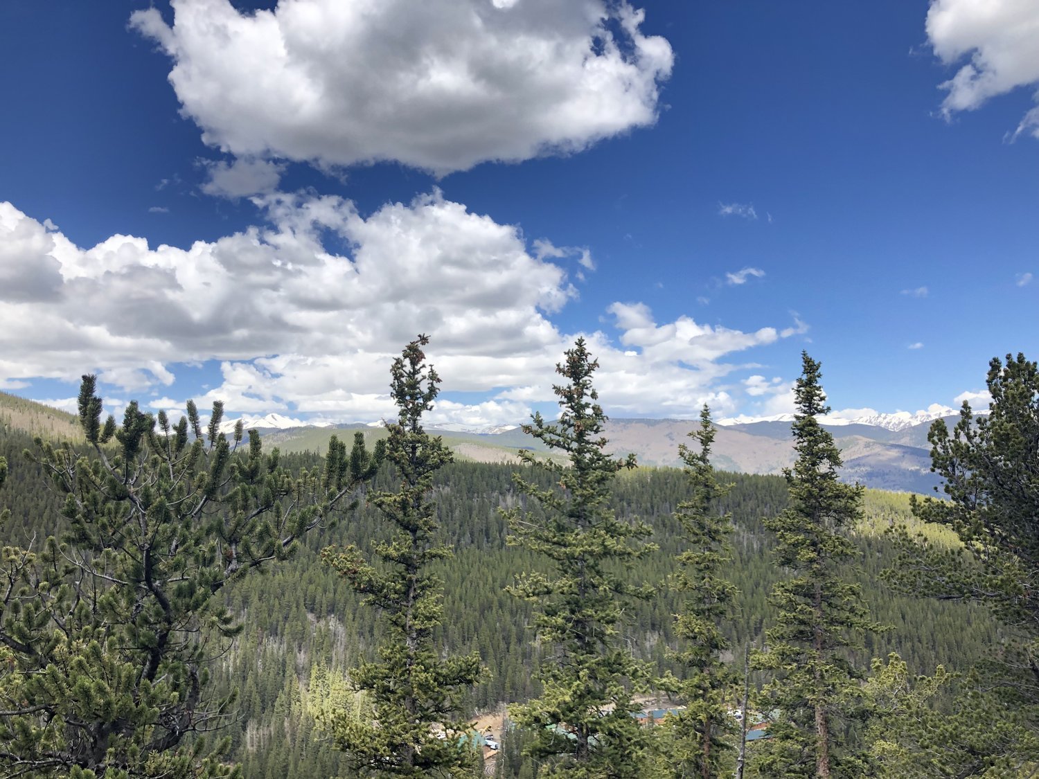
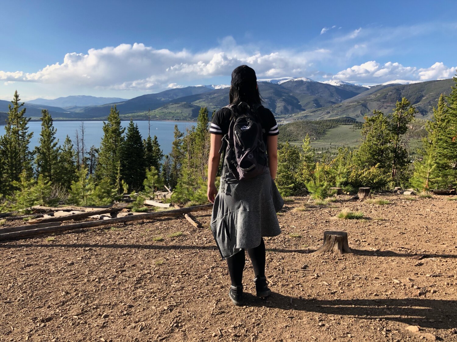
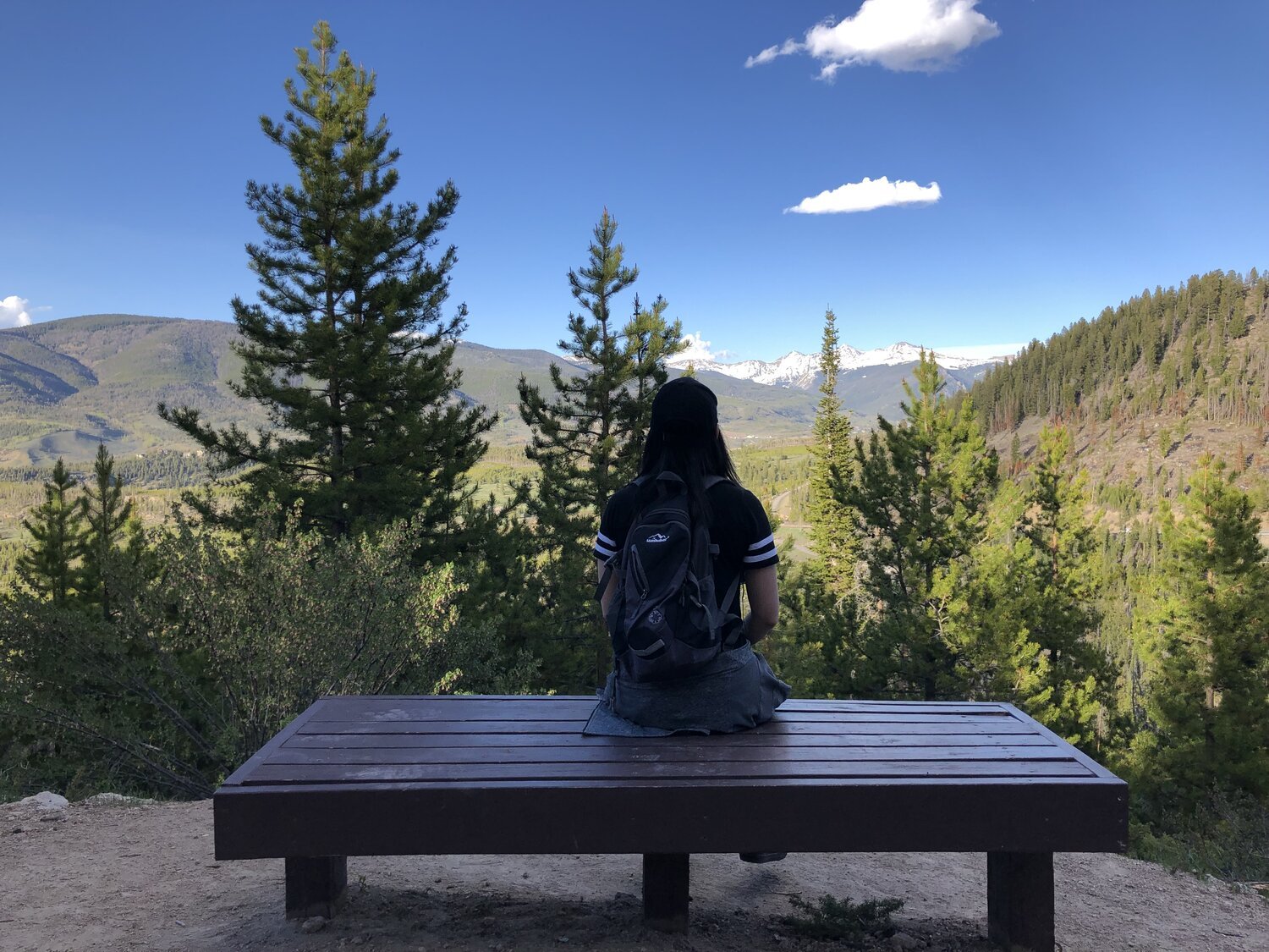
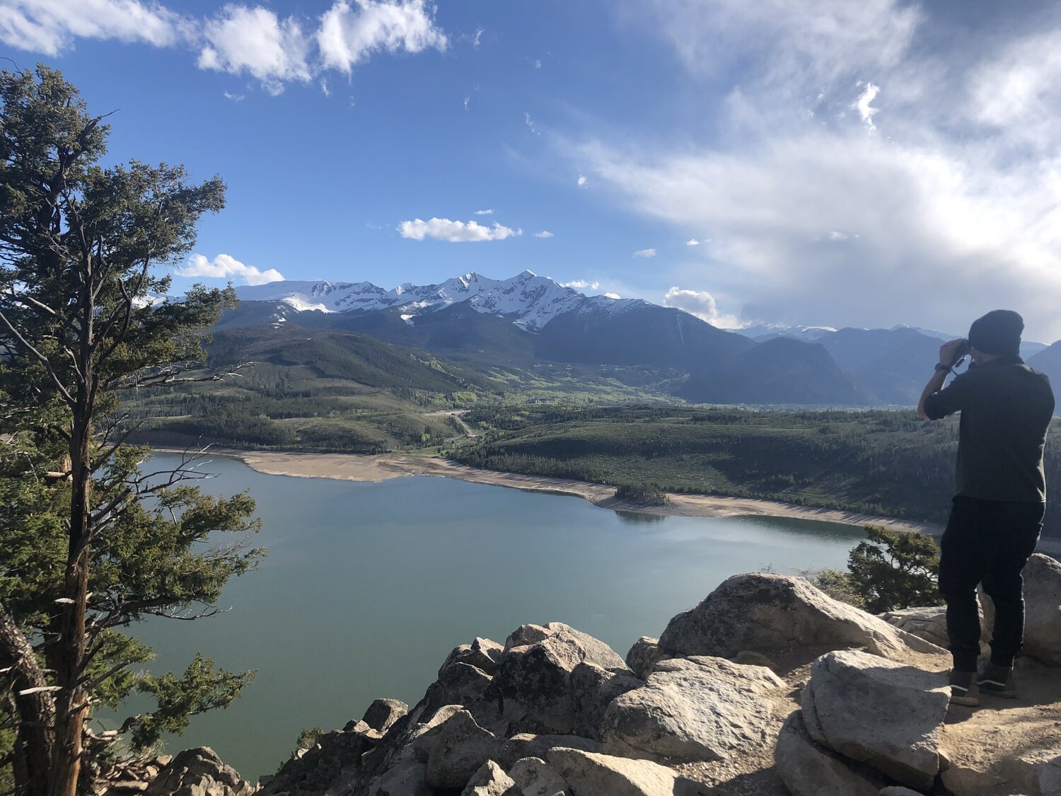
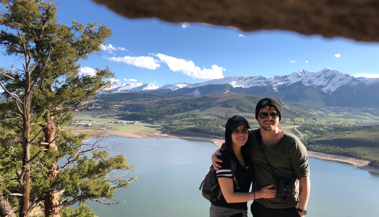
Sapphire Point Overlook on our last day in Colorado, but let’s start from the beginning…
Day 1 - June 6, 2019
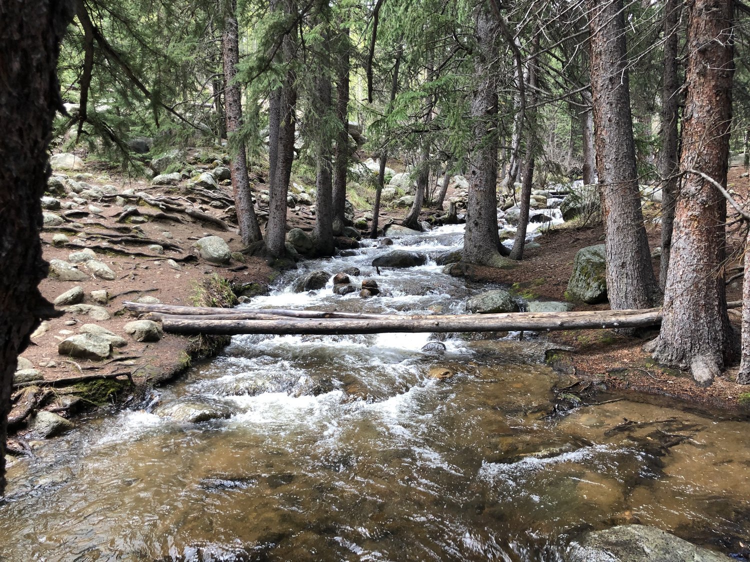
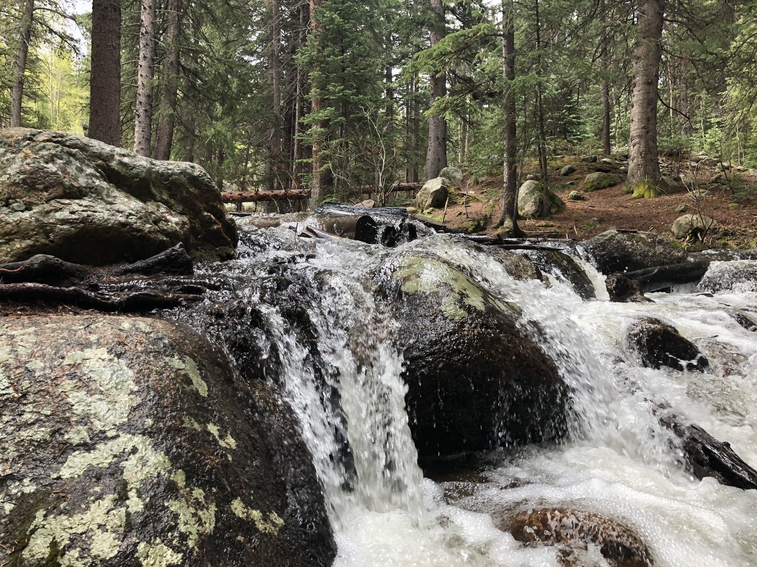
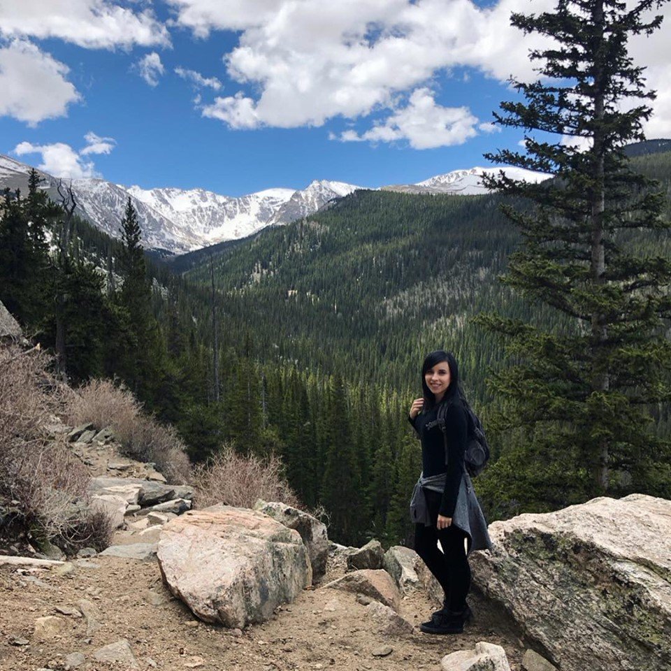
Our first day was spent flying from Dallas to Denver early in the morning, picking up our rental car, getting breakfast at Butcher’s Block, and heading west toward Mt. Evans and the Chicago Trail. This trail, in particular, holds a special place in my heart. My brother Jim and I hiked it when I was a little kid and it was my first camping experience. On the way up the mountain, before we got to the nostalgic-to-me path, we stopped at some bathrooms and explored the river next to it. All of the snow was still melting from the passing winter and it was absolutely beautiful.
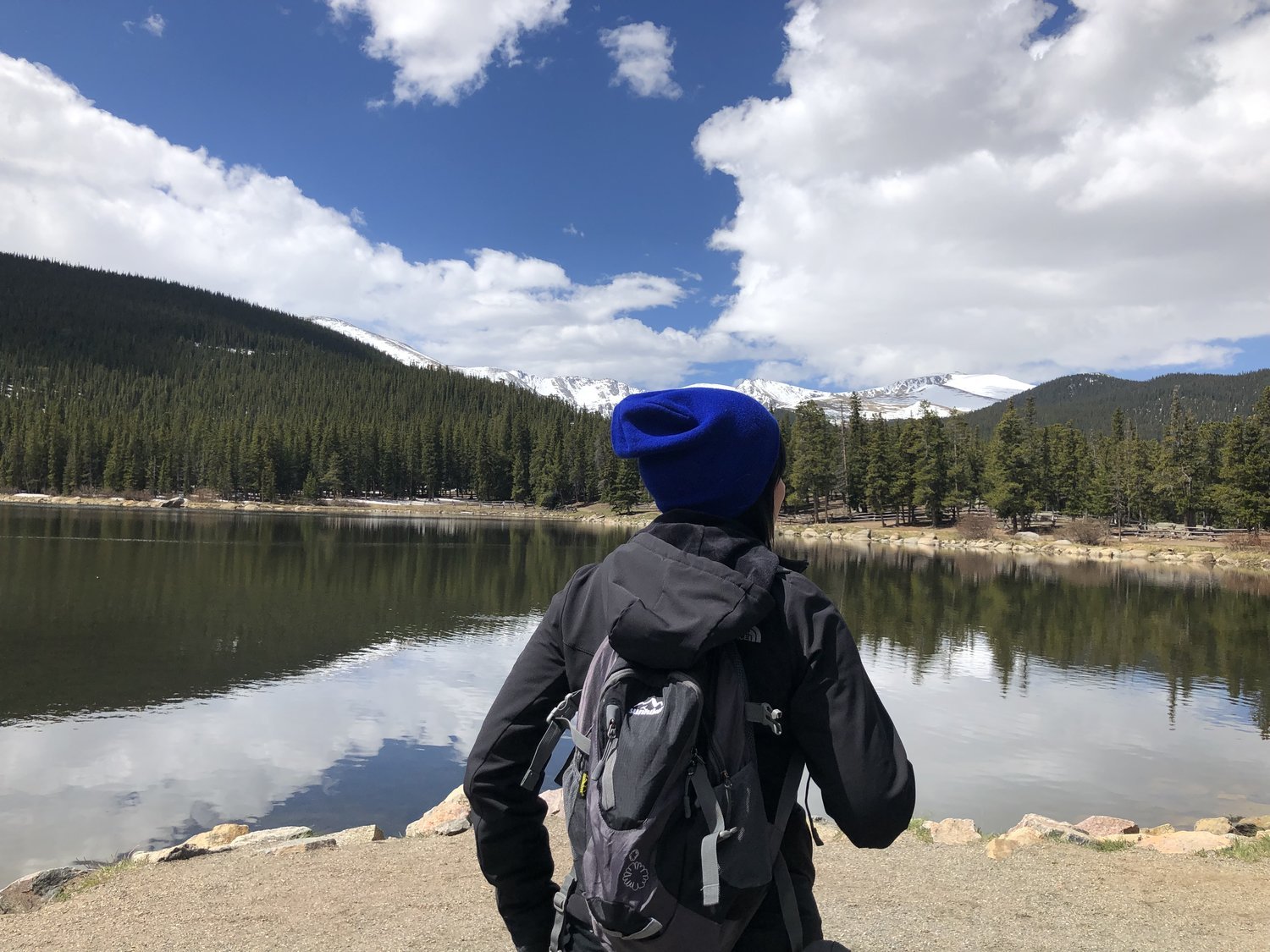
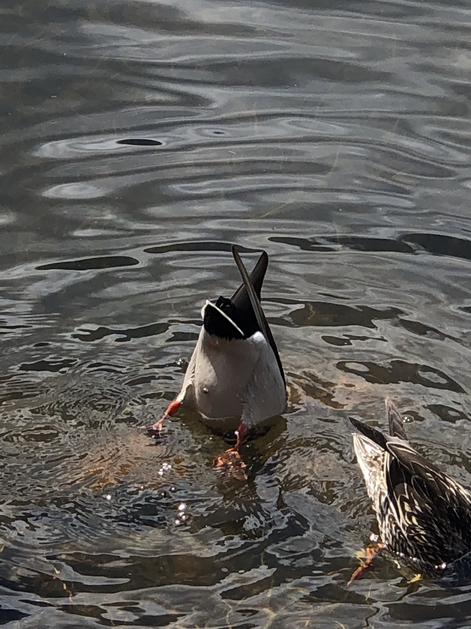
Following our short stop near the stream, we got back into the car and headed up Mt. Evans. Our rental car was not prepared for inclines it turns out as it fought against us the entire way. About 20 minutes passed and we found parking next to a campground. After gearing up for the hike, we walked only a minute or so before we came upon a serene view with a calm lake and mountains as the foreground. We realized our altitude via short bursts of lightheaded-ness and deep breathes. With ducks diving and only a few other quiet hikers around, everything was pretty peaceful.
We walked around the lake for a bit until we came upon the Chicago Lakes Trail entrance. A place that was close to my heart.
I couldn’t remember anything from when I had been there before at a young age. Only trees, my brothers truck that we slept in, and the forever darkness of the night we camped in could be remembered. It was drastically different this time around, naturally, since I was older.
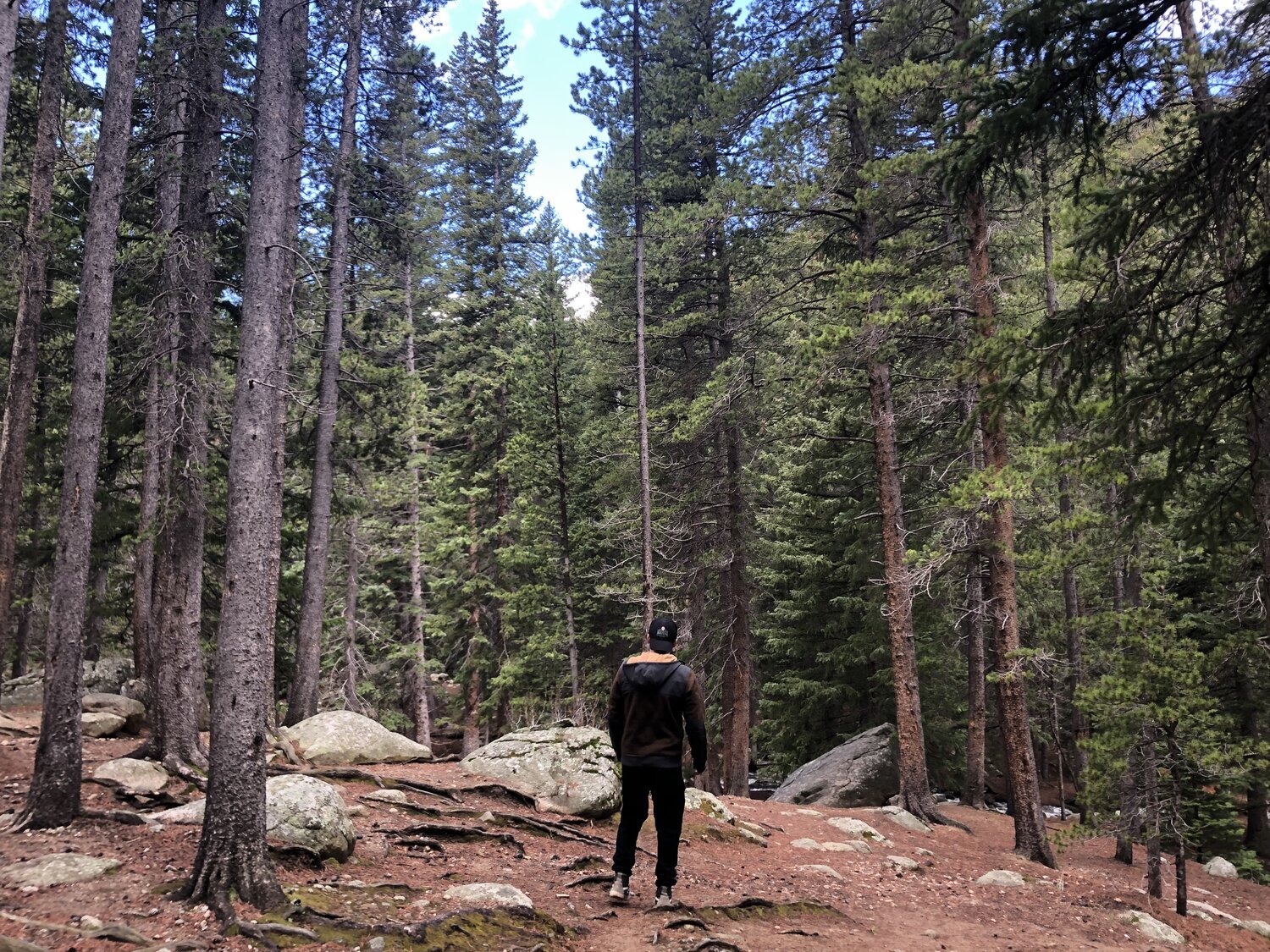
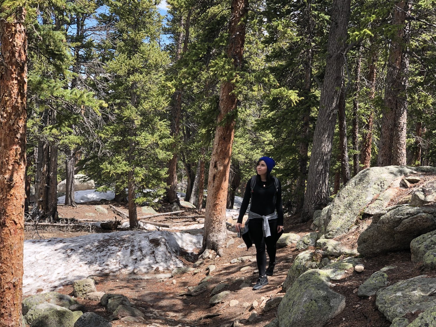
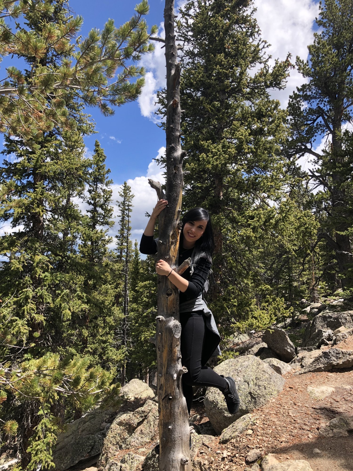
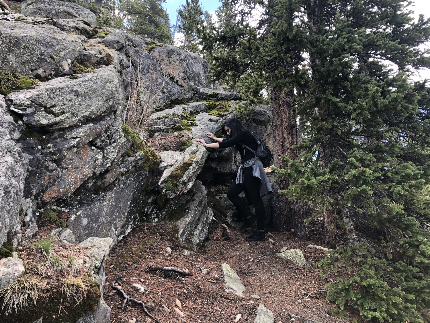
The trail fell for an eternity on one side and scaled further up on the other. Trees stretched upward and enticed my wife to climb a few. There were so many minerals in the walls that neighbored our path. Some parts were pretty treacherous, but not impossibly so.
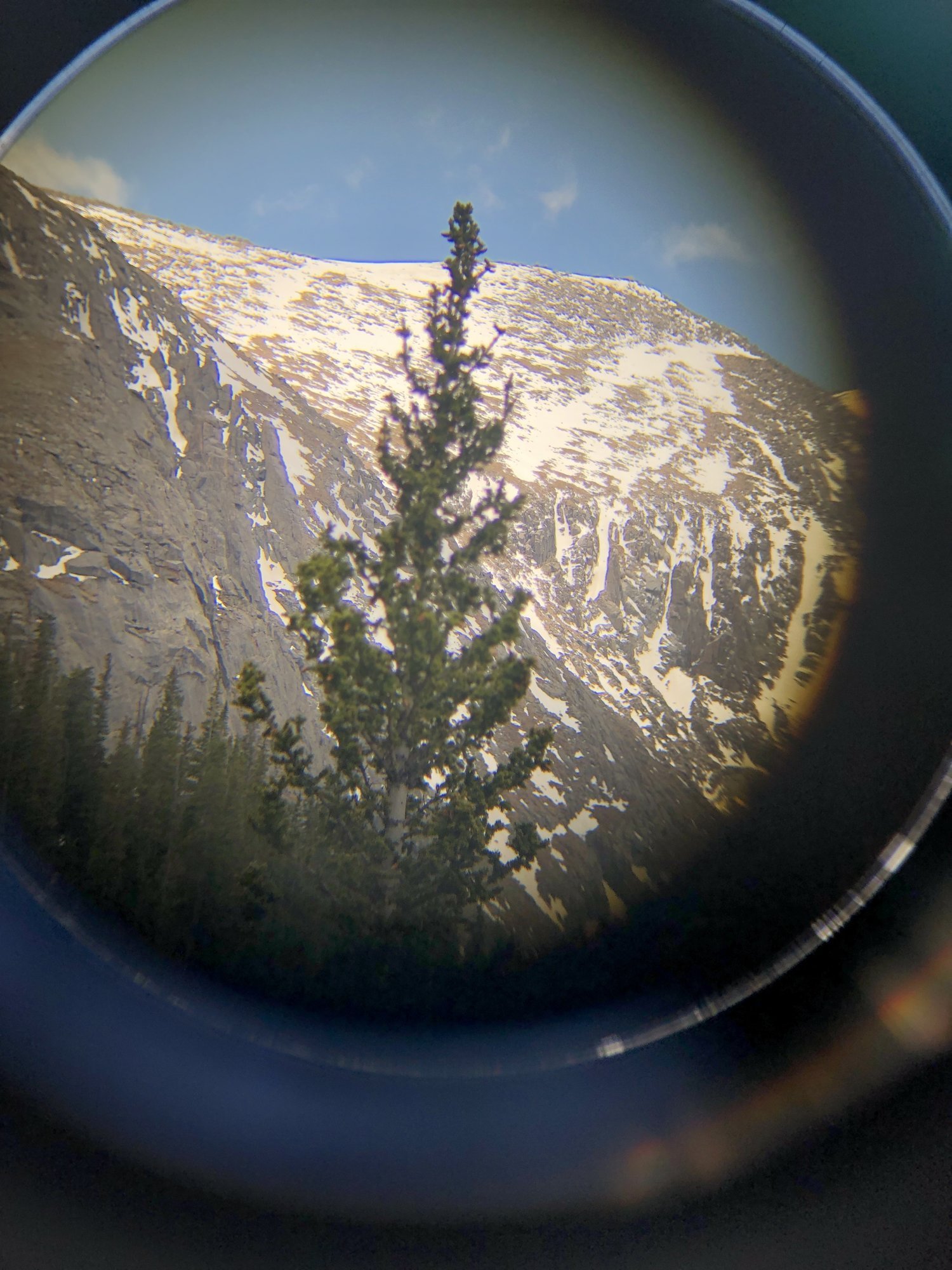
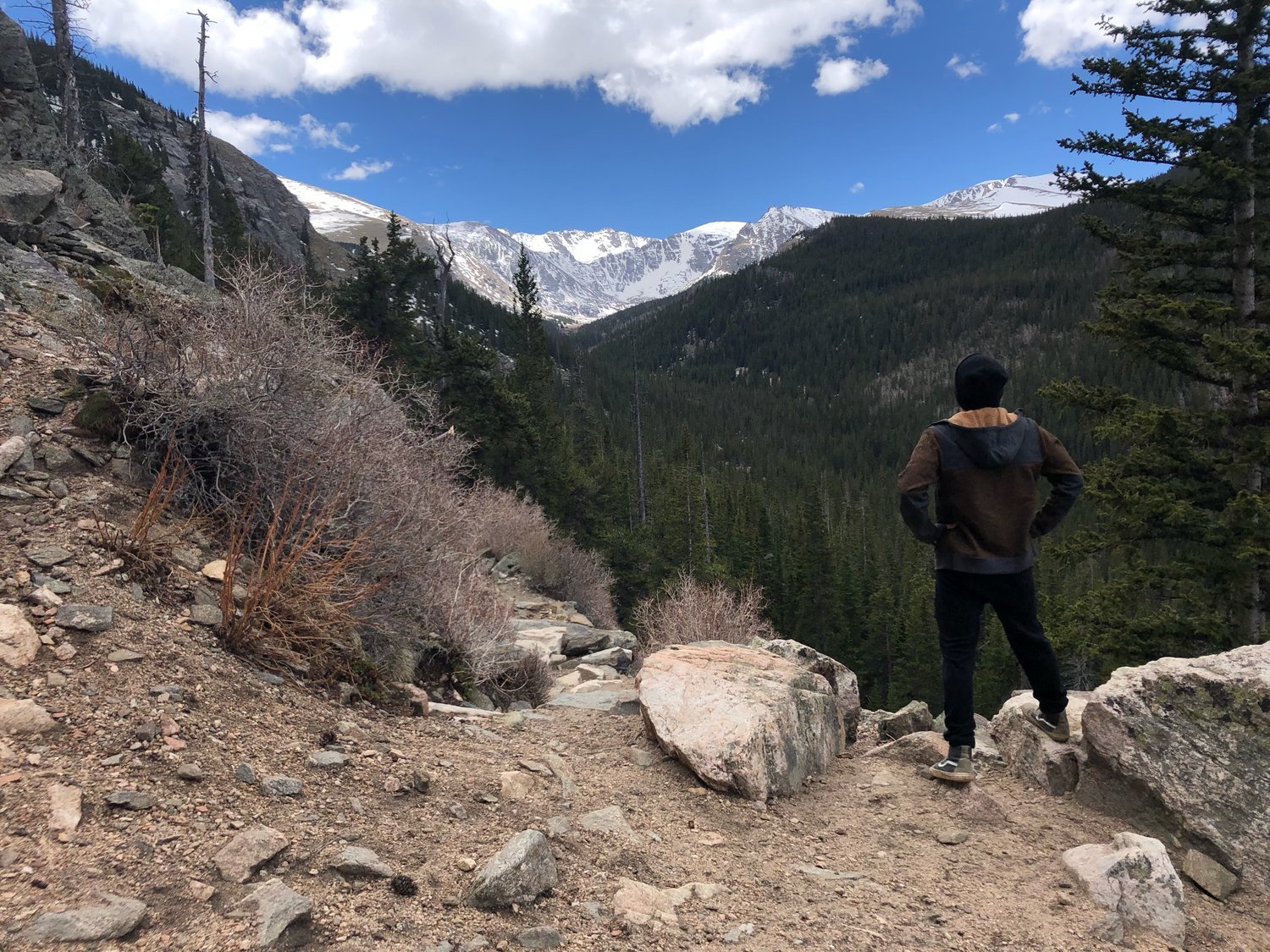
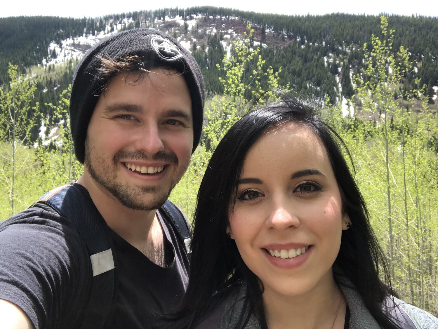
Our goal was to make it to an outlook a few hikers had told us about near the beginning of the trail and then turn back since we still had to make our way to our hotel that same day in Eagle, Colorado. The hike was well worth it once we got to that point. Tiff bought me binoculars for Valentine’s Day which I finally got to use on this trip and for the first time at this outlook. The view was stunning, helped immensely by Tiff being in it.
The rest of the day was spent traveling down highway 70 towards Eagle, Colorado. (More of this drive can be seen in the video at the end of this article.) Since our flight, hiking, and traveling had all been in one day, we decided to get dinner and call it a day.
Day 2 - June 7, 2019
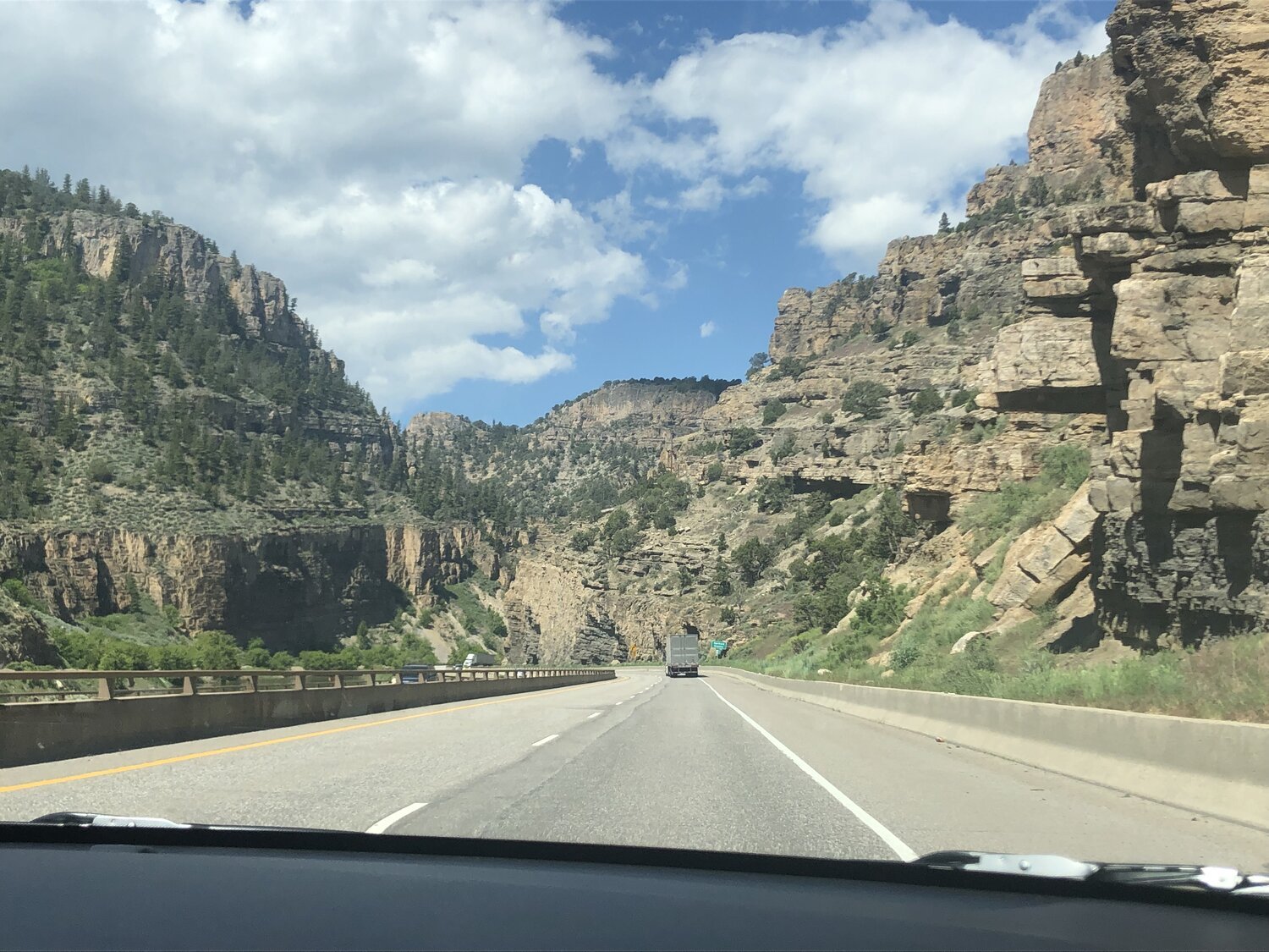
On day two, our goal was to drive further down highway 70 to Glenwood Springs. We decided along the way which trails to stop at. The passage through the soaring cliffs of Glenwood that accompany you down the highway are among my favorite all time scenic drives. One day, we hope to live in this area.
The road winded through cliffs almost aimlessly. It’s the perfect place to feel lost. Our first path to explore was Grizzly Creek which turned out to be a fantastic choice, (though we didn’t see any grizzlies).
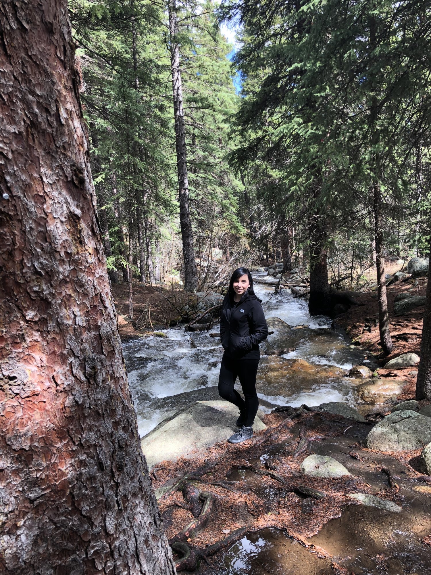
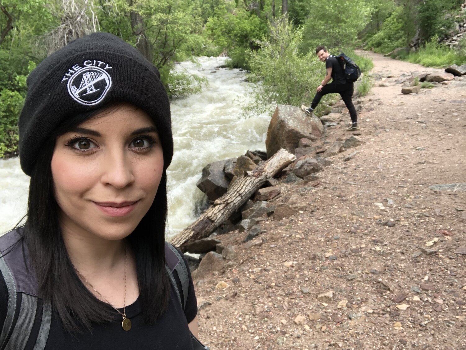
There’s something incredibly beautiful, scary, and allegorical about fast-moving water and Grizzly Creek runs next to some of the craziest rapids I’ve ever experienced. Knowing how powerful they are and how dangerous they can be, gives me an indescribable and almost mythical feeling.
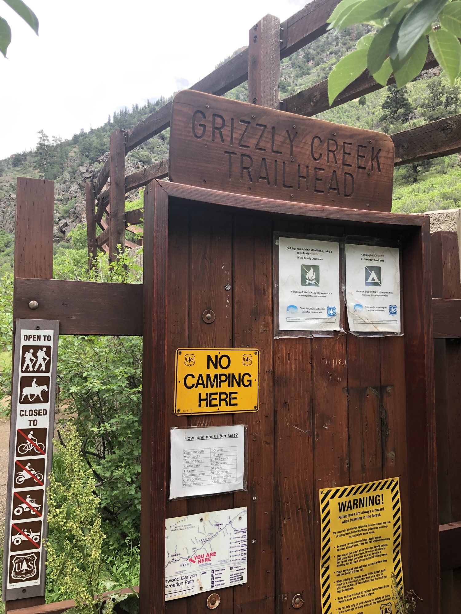
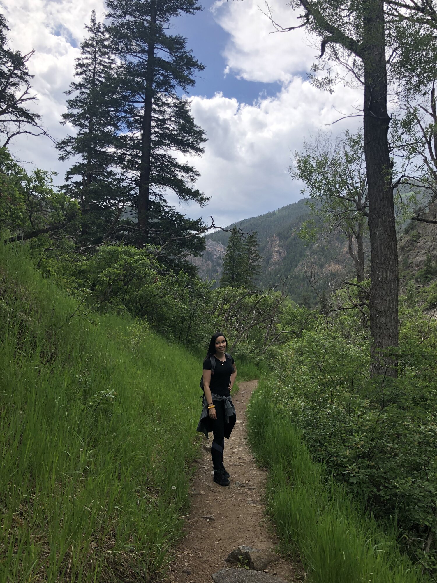
Pre-trail and just after you park, you’re greeted by the quick-moving water, bathrooms, a wooden bridge, and a cement overpass. 50+ more feet and you reach the sign above. As you move forward, the trail opens up to lush green plants and a large cliff face to your left, just over the immature traveling rapids.
We only walked about 25% of Grizzly trail before we turned back as were beckoned by another trail about an hour away that we wanted to get to while there was still light in the day. Once we got back to the car, we were starving. We stopped by this little restaurant right off highway 70 called, “A Whistle Stop Cafe” which was delicious! They had this wonderful hot sauce from Aspen that was kind to my sensitive 30+ stomach.
Completely stuffed, we made our way back toward Eagle, Colorado where we were staying. GPS took us back through downtown Eagle and out to paved road that slowly turned to a dirt one. This led us into White River National Forest toward our destination, which was a cave I had found a lot of stories about online. It was called Fulford Cave.
The trailhead is fairly easy to get to, but we had to obtain a permit via White River Nation Forest (forest service) to go into the cave. We secured one here a few days prior. We had our headlamps, water, and cameras ready to go in our camping backpacks once we arrived. Upon entering the trail, it’s important to note as we did from signage, that there are a lot of bears in this area, so we were pretty cautious the entire time.
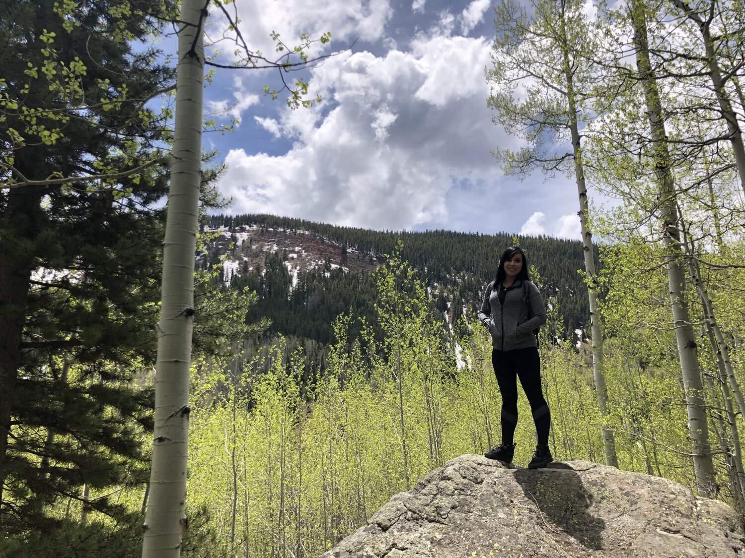
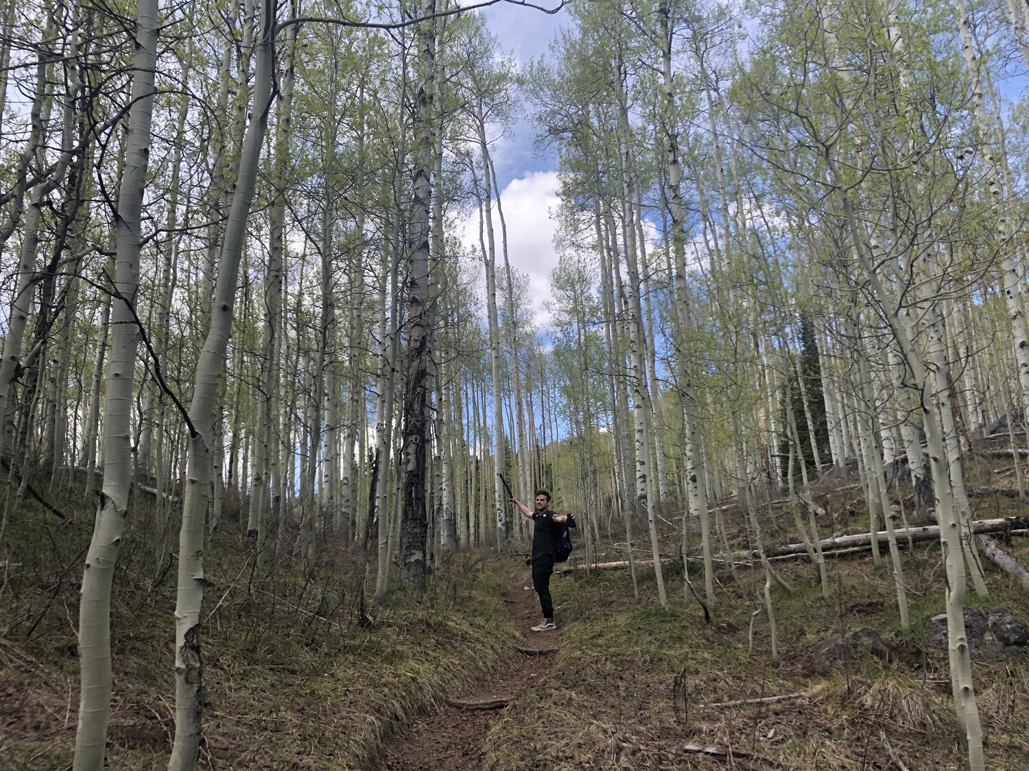
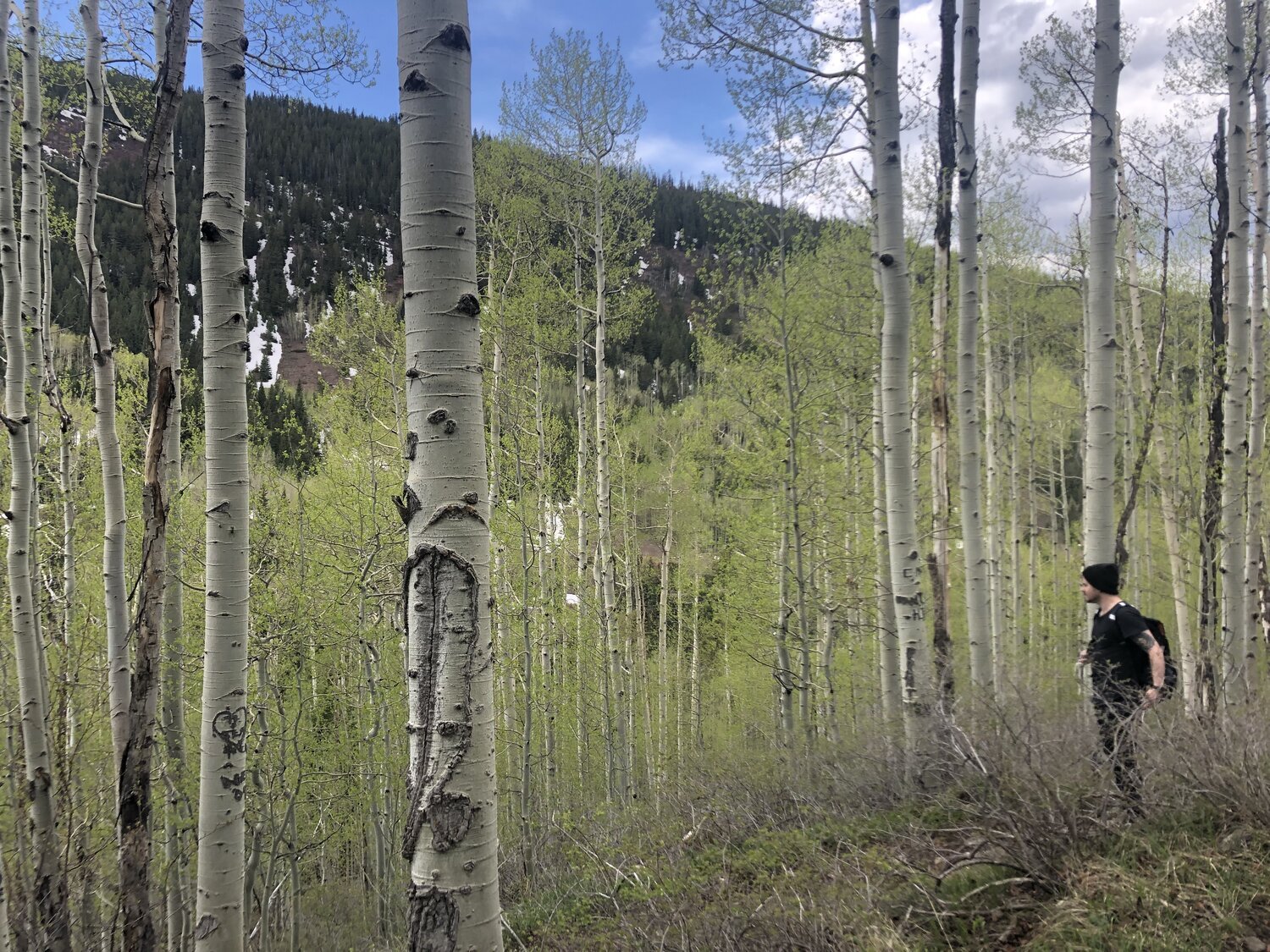
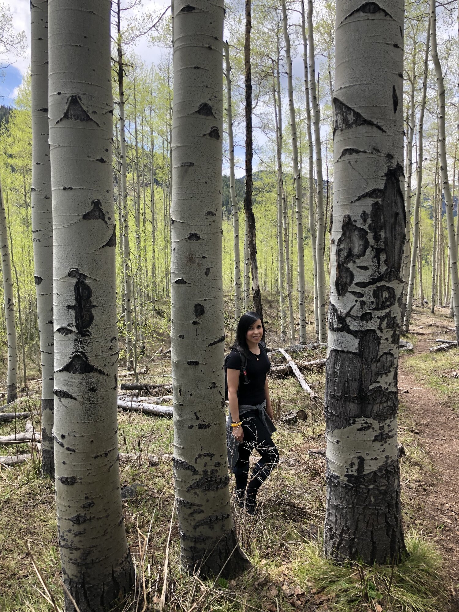
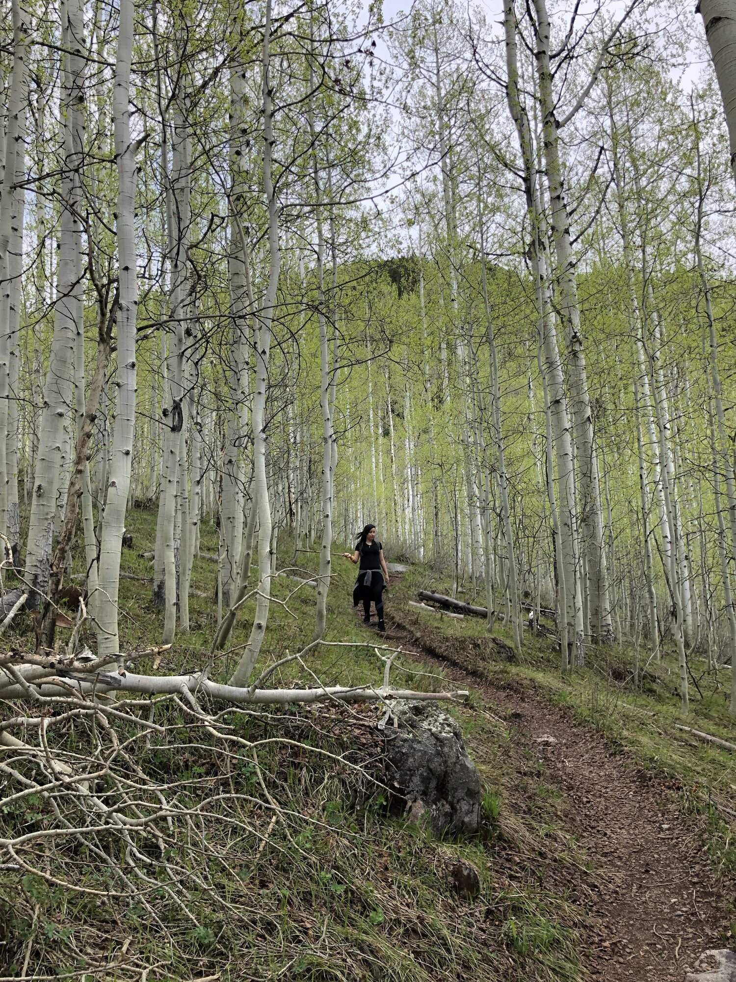
For the most part, the trail was an incline surrounded by tall, enchanting Birch trees. Five minutes into our hike, we accidentally scared some deer. I was just glad they weren’t bears.
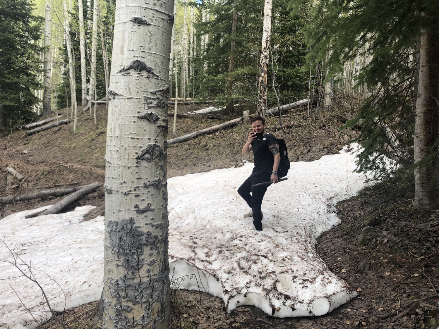
I carried a stick most of the way to make sound so black bears in the area would know we were coming through. The last thing we wanted to do was startle them. The trail continued upward as we saw more and more snow patches on the ground.
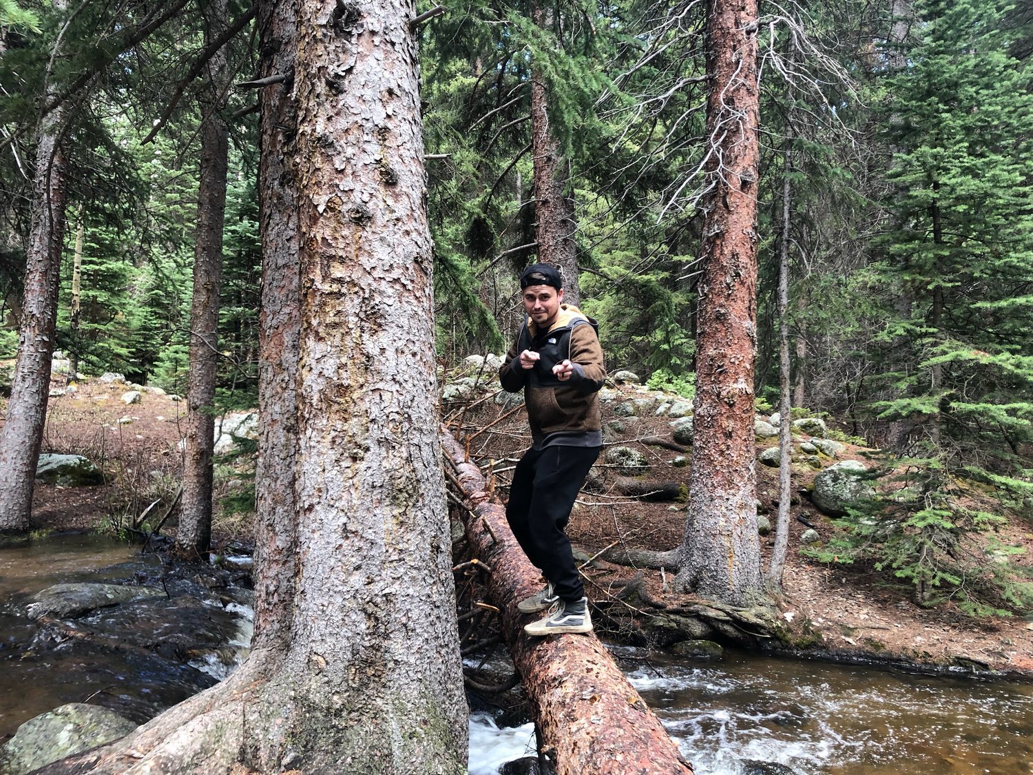
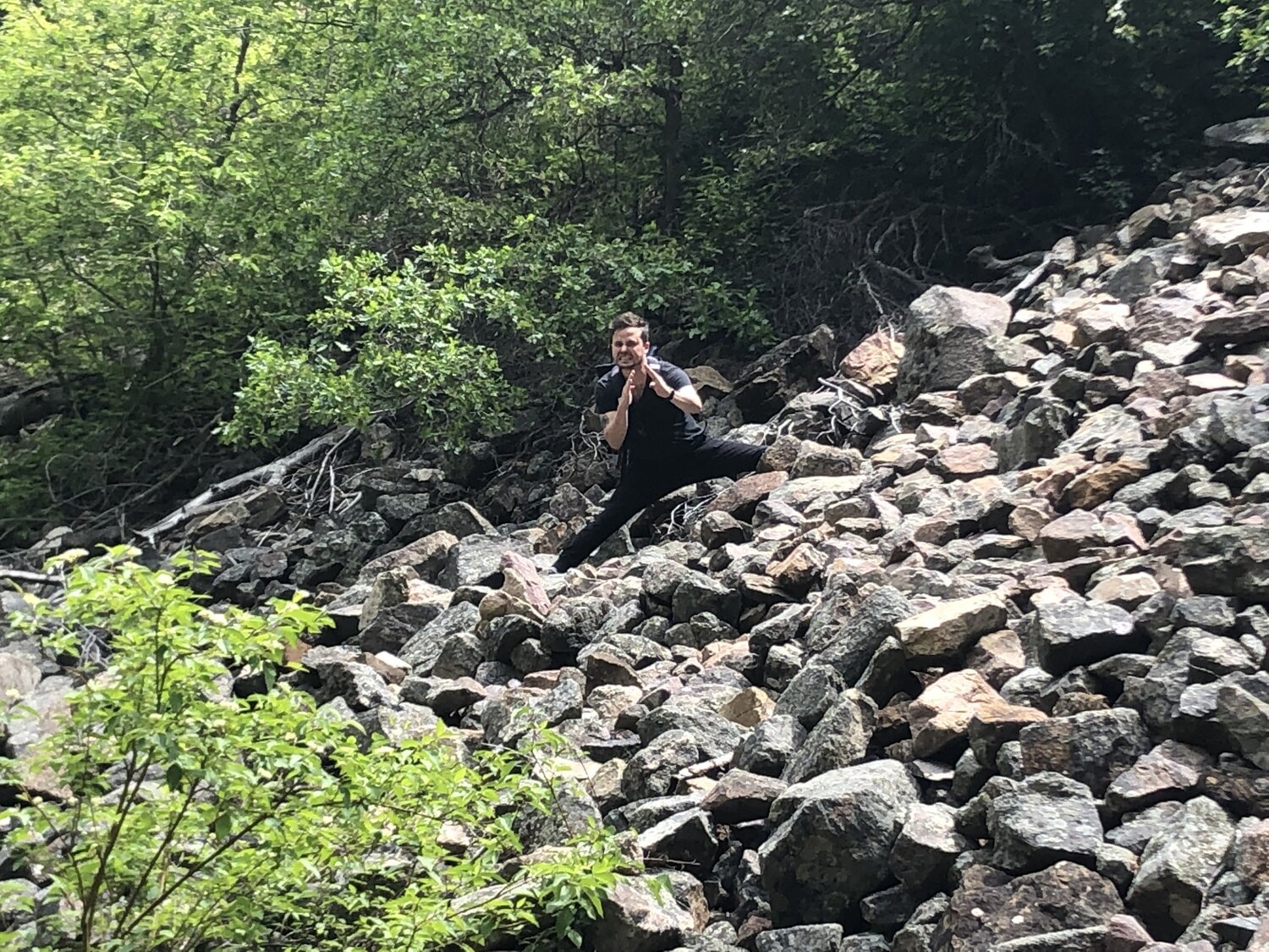
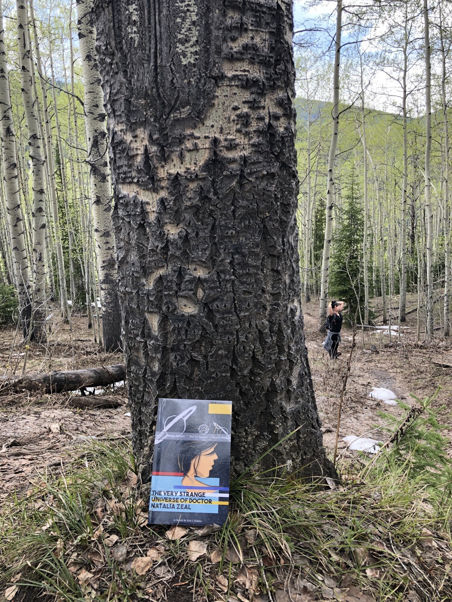
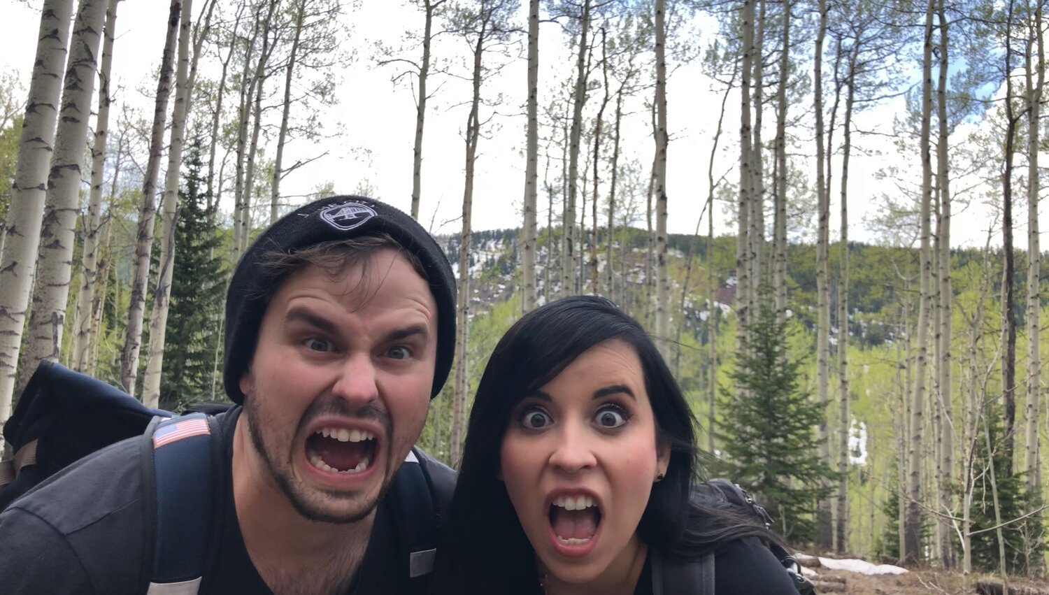
I had to promote my book mid-hike, of course, (above). As is customary with most of our hikes, we had to pay homage to the forest through silent screaming. Anything for a good picture right?
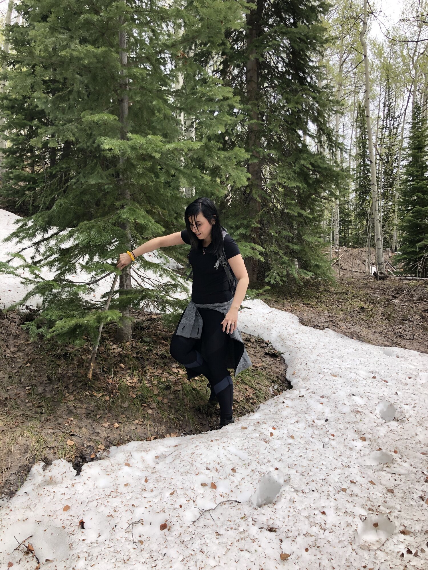
Sadly, the hike ended abruptly as the trail forward began to disappear the further we went due to fallen trees, overgrown brush, and a myriad of snow sections. (You can see more in the video at the end of this article).
In the photo below, you can see where we were forced to stop as the snow was deeper than we were tall.
Our only choice was to head back down the trail toward where we had parked, about 30 minutes down the mountain. One day we will see Fulford cave…ONE DAY. We stopped a few more time before we got to the bottom for some photo ops.
We made our way down to the parking lot where we took a couple more pictures before we headed back toward the town of Eagle.
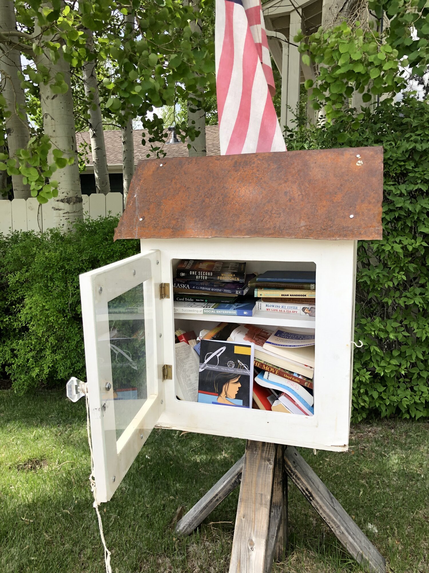
It was nearing late afternoon when we got back into Eagle. Storm clouds hovered over us begging to drip, but I don’t believe they ever did. I put a copy of my book in the Little Library there in town.
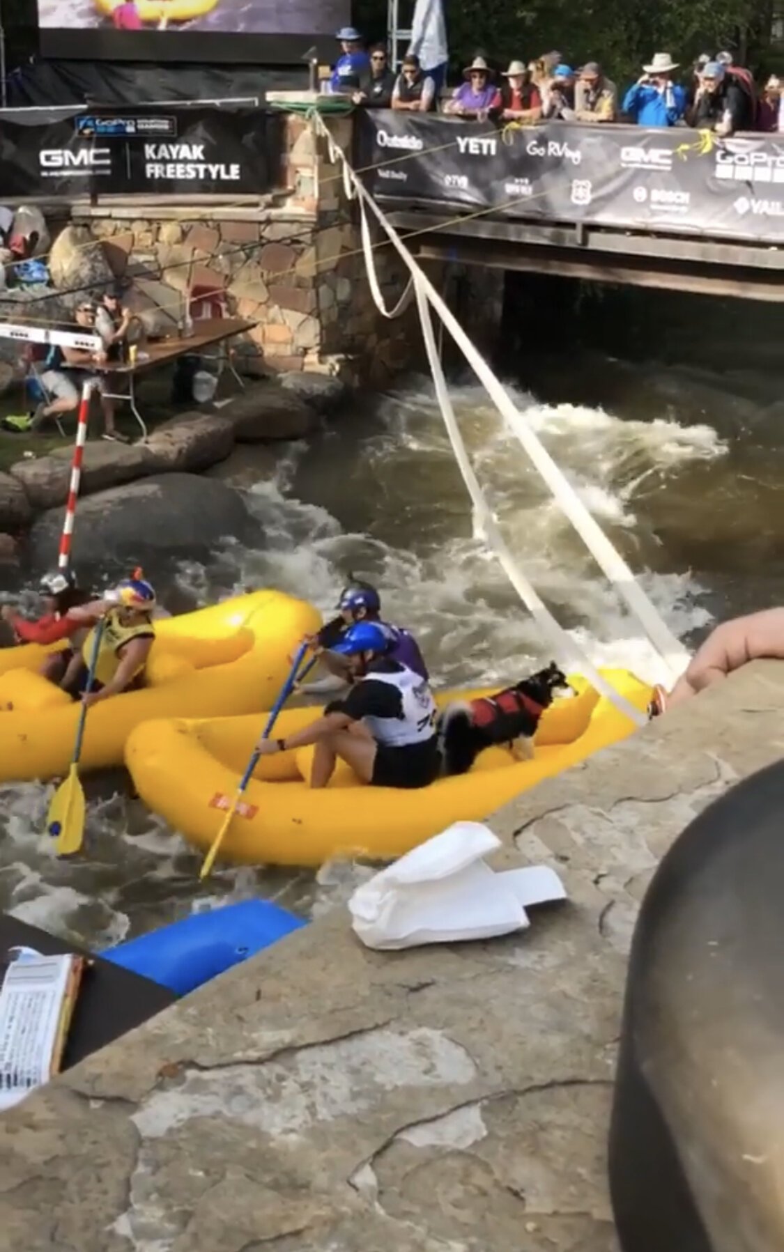
We settled on eating dinner in Vail and arrived there about 45 minutes later. Unbeknownst to us until we got there, we happened to go on a day when a GoPro sponsored action sports event was happening. Everywhere we looked something was going on.
We ate dinner at a little Mexican food place there called La Cantina and then explored. I had never seen so many dogs; almost everyone was walking one. Made us miss ours! Although fun, it was starting to get dark so we headed back to the hotel. We got some pizza after dark and walked a few blocks to a local brewery in Eagle called, “Bonfire Brewing”. We ended our night with some delicious beer and conversations that lasted late into the night.
Day 3 - June 8, 2019
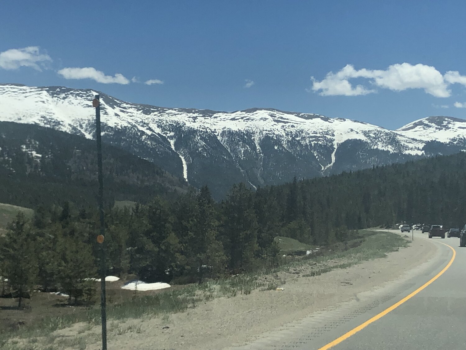
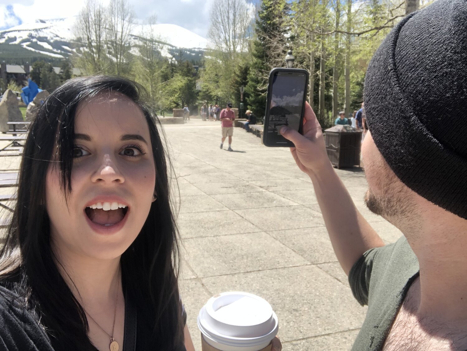
On our last day in Colorado, our flight wasn’t until around 8pm so we practically had an entire day ahead of us. We checked out of the hotel and got coffee and a few snacks for the road. All packed up, we headed toward Breckenridge to check out the main shopping strip. The drive there was as amazing as the rest of western Colorado had been.
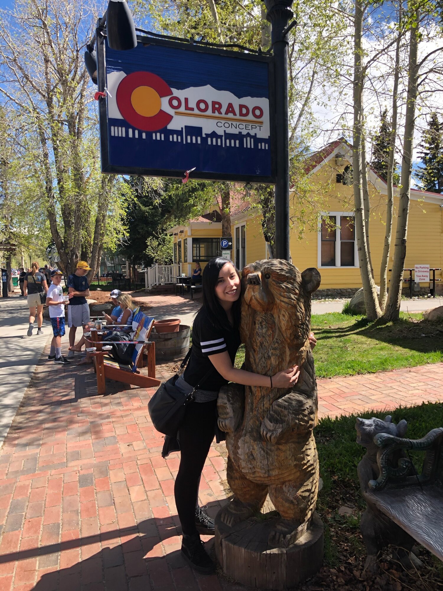
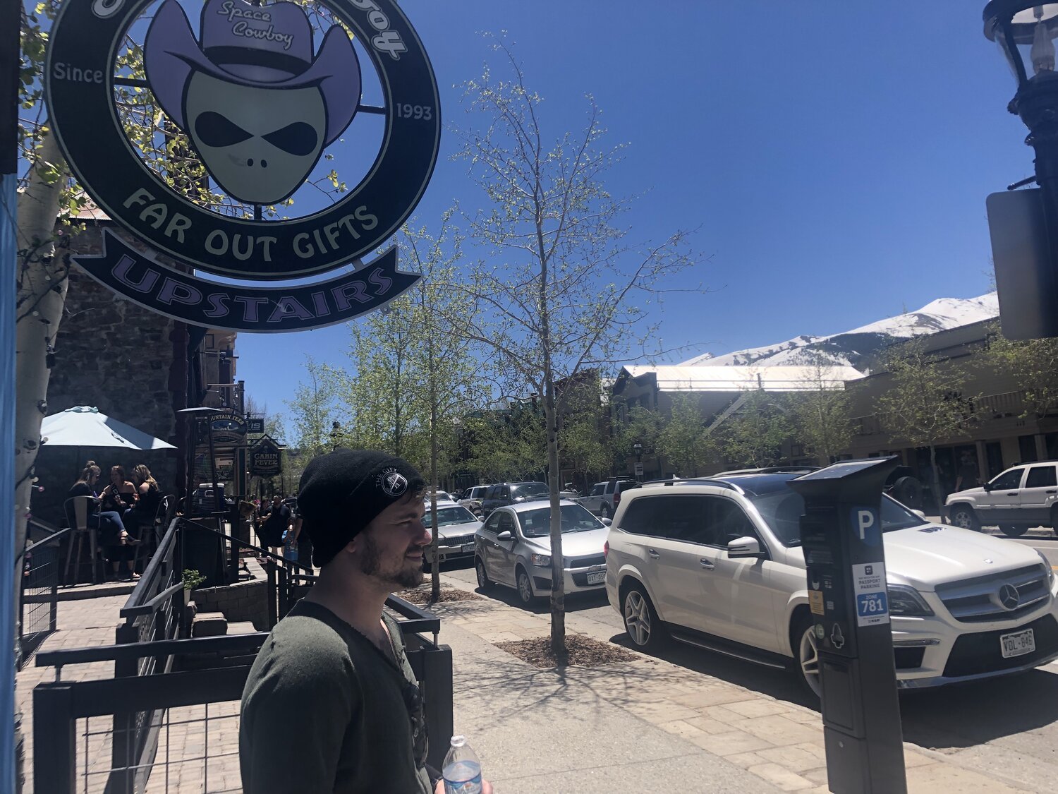
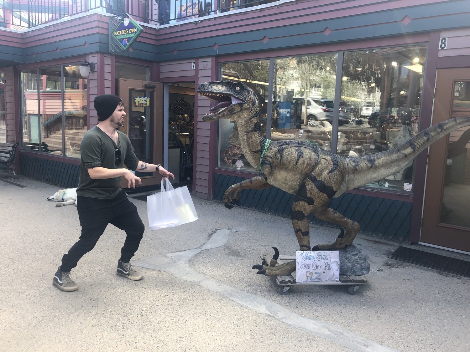
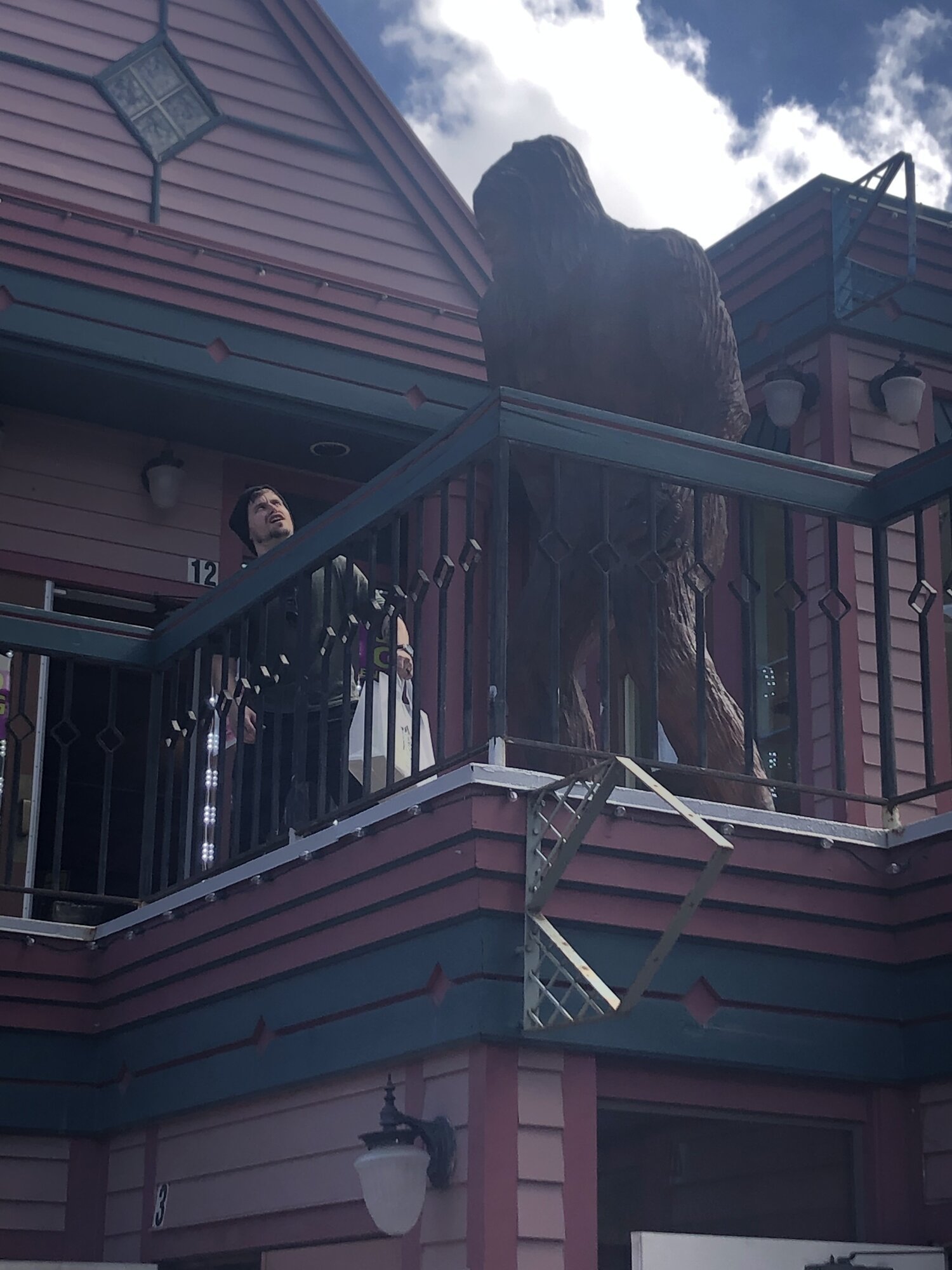
Although Tiff had been once before, out of the many times my family and I traveled to Colorado as a kid, I never got to experience Breckenridge. I couldn’t imagine spending more than a day there unless I was skiing, but it was a blast looking through all the shops and driving through the unique and undoubtedly expensive neighborhoods.
We walked the main street for about four hours.
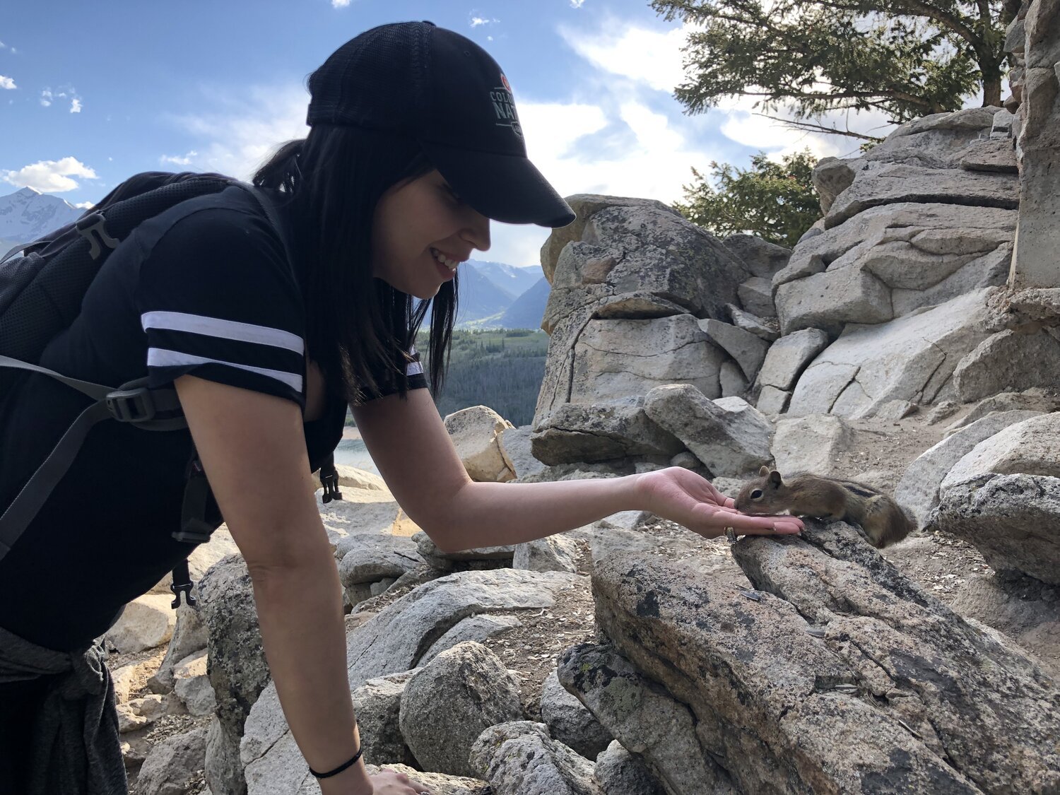
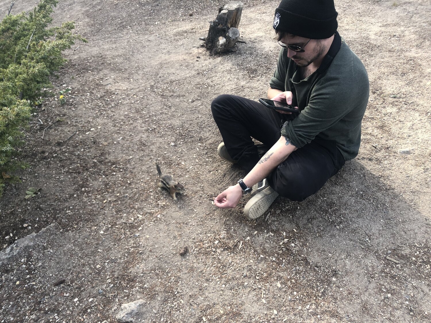
Before heading to the airport, we wanted to hit one last trail we had heard a lot about right outside of Breckenridge called Sapphire Point. I had seen pictures, but had no idea how pretty it was there and what furry critters we would meet there. It was a perfect end to another perfect vacation with Tiff.
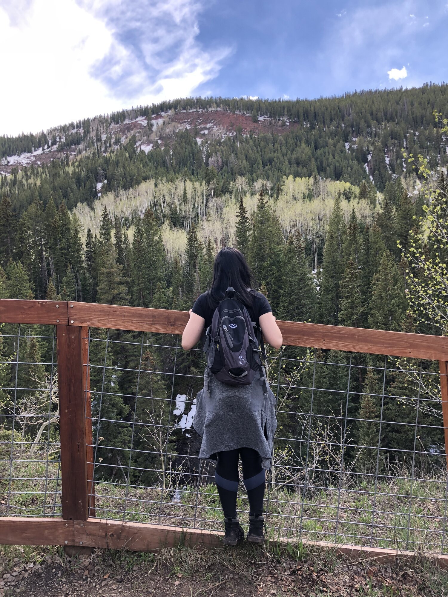
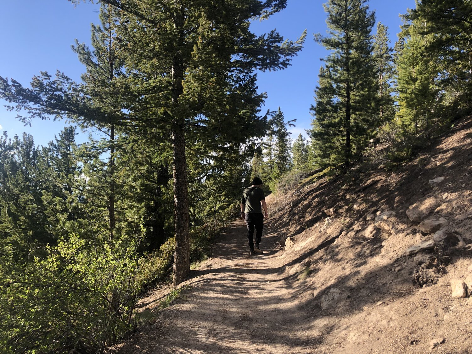
Below are the last pictures we got while walking the Sapphire Point trail.


